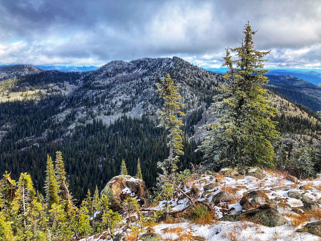
Posted on 4 Comments

Ymir Peak

Ymir Mountain is renowned for its powder, but it’s also a perfectly hike-able summer excursion. Achieving the summit involves following a difficult trail to traverse the boulders and scree in the Ymir Bowl, but the reward is ridge-line hiking with spectacular views!

Summary
Trailhead: Whitewater Ski Hill Road
Distance, round trip: 8.5km
Elevation: +760m
Season: mid-July to late September
Difficulty:  Difficult
Continue reading Ymir Peak
Posted on Leave a comment

Haystack Mountain

Haystack Mountain is a remote peak in the Purcell Mountain Range. The access road is long, but the trail offers hikers the chance to bag a peak or just enjoy the lakes and ridges surrounding the area. Come in the fall for golden larches!

Summary
Trailhead: Sanca Creek FSR
Distance, round trip: 11km
Elevation: +1008m
Season: mid-July to late September
Difficulty:Difficult

Continue reading Haystack Mountain
Posted on Leave a comment

Half Dome

For those that like a little more scramble, the Half Dome is a prominent landmark on Ymir Peak’s ridge with big panoramic views. The trail is still in development, so prepare for some route-finding as you pick your way along the ridge, using hands to scramble over the bluffs.

Summary
Trailhead: Whitewater Ski Hill Road
Distance, round trip: 8.8km
Elevation: +680m
Season: mid-July to late September
Difficulty:Difficult

Continue reading Half Dome
Posted on Leave a comment

Billy Goat Bluffs

A steep, forested trail leads you up to a scenic lookout with big views over the Creston Valley! This short hike starts right in town and is perfect for a few hours of exploration.

Summary
Trailhead: Helen Street
Distance, round trip: 6.2 km
Elevation: +400m
Season: April to November
Difficulty: Moderate 
Continue reading Billy Goat Bluffs
Posted on 1 Comment

Larch Ridge Loop

Follow the mountain bike trails through the forest to a beautiful ridge with views over Trail and Rossland. Come in the summer for huckleberries or the fall for the golden larches.

Summary
Trailhead: Highway 3B
Distance, round trip: 8.9 km
Elevation: +275 m
Season: mid May to late October
Difficulty:
Easy

Continue reading Larch Ridge Loop
Posted on Leave a comment

Payne Bluffs (K&S Trail)

Following the old K&S (Kaslo and Sandon) Railway, this trail winds high from Sandon to the bluffs overlooking Three Forks. It visits several mine sites with interpretive signs sharing the region’s history.

Summary
Trailhead: Sandon Road or New Denver Siding Road
Distance, round trip: 13.6 km
Elevation: +200 m
Season: mid-April to late-November
Difficulty:  Easy
Continue reading Payne Bluffs (K&S Trail)
Posted on 2 Comments

Kimbol Lake

A forested trail, carpeted with moss and pillared with old growth trees. The subalpine lake is cradled in a steep valley with limited views but still a worthy destination.

Summary
Trailhead: Nakusp Hot Springs
Distance, round trip: 11 km
Elevation: +551 m
Season: mid-June to early-November
Difficulty: Moderate
Continue reading Kimbol Lake
Posted on 1 Comment

Galena Trail

Galena is a natural lead and silver ore—it was the stuff of miner’s wildest dreams back in the days of the “Silvery Slocan.” This is a historic rail trail that was used to bring ore down from the mines at Sandon. Today, the Galena Trail is a pleasant walk in the forest with an exciting cable car crossing.

Summary
Trailhead: Sandon Road or New Denver Siding Road
Distance, round trip: 15.2 km
Elevation: +175 m
Season: mid-April to late-November
Difficulty:  Easy
Continue reading Galena Trail
Posted on Leave a comment

McDonald Creek Nature Loop

So you’re camping at McDonald Creek and need something to do? This nature walk is a simple trail through the forest, stopping at McDonald Creek and the remains of an old homestead.

Summary
Trailhead: Highway 6
Distance, round trip: 3.2 km
Elevation: +25 m
Season: mid April to late November
Difficulty: Easy
Continue reading McDonald Creek Nature Loop
Posted on Leave a comment

Hot Springs Trail

Yes, you can hike all the way into the Nakusp Hot Springs! This is a mossy multi-use trail that follows Kuskanax Creek, tracing a historic pioneer route used to access the springs. Most hikers prefer to go one-way, arranging a pickup or hitching a ride after a good soak at the hot springs. This trail is sometimes referred to as “Kuskanax Creek”.

Summary
Trailhead: Alexander Road or Nakusp Hot Springs
Distance, one way: 9.8 km
Elevation: +250 m
Season: mid-April to late-November
Difficulty: Moderate
Continue reading Hot Springs Trail